Sandy Base Maps
The City of Sandy, in cooperation with the Clackamas County GIS Department, maintains GIS (Geographic Information System) data of City utilities and Planning Data.
- As-Builts Map
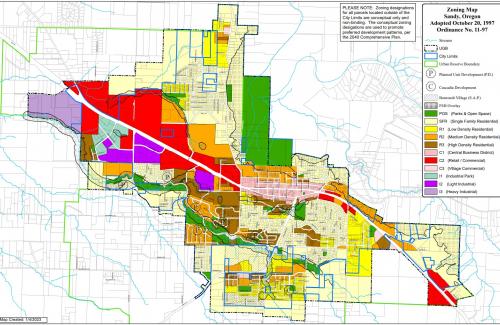
- Zoning Map
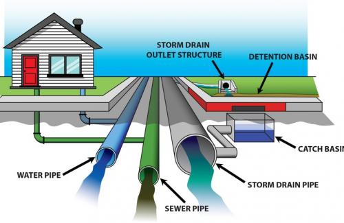
- City Utilities (Water|Stormwater|Wastewater)
- Sandy Benchmark Elevations (DATUM - NGVD29)


