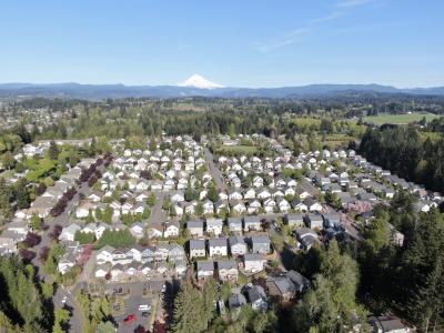
Development Review
The Planning Division reviews all development applications to determine compliance with applicable local, state, and federal regulations. These applications may include subdivisions, planned developments, new commercial/industrial development, multi-family projects, and government projects. The primary functions of development review include:
Preparing and presenting staff reports and recommendations to the decision making bodies, including the Planning Commission and City Council on a variety of proposals; reviewing various permit applications such as tree removal applications, sign permits, and temporary use permits; providing assistance to the general public and developers on zoning and development related concerns; and, assisting with code enforcement to assure compliance with the City's codes and regulations, including the sign code, urban forestry regulations, building code, and municipal code.
How do I apply for a land use application?
If you are interested in developing a vacant property, remodeling an existing building, or dividing a piece of property, it is necessary to be familiar with the land use process. Please click on the Development Requirements & Applications link to see the requirements for a variety of land use applications.
Active Land Use Applications
Are you interested in finding out what development projects are happening in town? Do you want to find out the status of a project and have your voice heard? Please click on the Active Land Use Applications link to find out more.
Comprehensive Plan
The Comprehensive Plan provides the direction through goals, objectives, and policies to guide future development of the city. The plan is mandated by the state to conform to Oregon Statewide Planning Goals. The current Comprehensive Plan was adopted through an extensive public involvement process in 1997 to guide development to the year 2040. A unique feature of the plan was the establishment of Urban Reserve areas outside the Urban Growth Boundary (UGB).
Development Code
The standards contained in the Development Code are intended to ensure that development is of the proper type, design, and location and serviced by a proper range of public facilities and services in accordance with the Comprehensive Plan. This documents describes the processes and procedures to review a variety of development applications. In April, 2008 the City Council adopted new design standards known as Sandy Style to guide the development form of all new commercial, industrial, and non-residential (schools and churches) buildings and remodels.
Zoning Map
The Zoning Map identifies the location of the various zoning designations described in the Development Code. The zoning map is used to identify the zoning of a particular property.
County Tax Lot Info
Information about a particular property outside the city limits but within Clackamas County can be found by clicking here.

